MERLOT Materials
Show results for
Filter by
- Academic Support Services (111)
- Arts (35)
- Business (85)
- Education (147)
- Health Sciences (40)
- Humanities (204)
- Mathematics and Statistics (46)
- Science and Technology (513)
- Social Sciences (241)
- Workforce Development (30)
A description of different map types and how they are used in physical geography.
This guide contains information provided by Deakin librarians to help support your learning and research. The guide... see more

Imagine that you are a mapmaker for the king and queen of Spain. You really want to sail across the sea to explore and... see more
Maps that aid students' critical and higher order thinking skills.

As a specialist medium, maps and plans can be a challenge to use and it is not always immediately obvious just what can... see more
Open Knowledge Maps provides you with an outstanding open access search engine /schematic map interface covering all... see more
This map source enables you to select the type of map desired for a wide variety of categories. For instance, under world... see more
This is a Stand Alone Resource for basic map skills.
The Library of Congress (LOC) has an extensive collection of the Sanborn Fire Insurance Maps and many of them are... see more
El objetivo de este objeto de aprendizaje es que el alumno sea capaz de crear variables globales dentro del programa... see more
Google online mapping application that allows you to create custom maps. GPS waypoints and routes can be plotted on these... see more
The Sanborn Maps Collection (https://www.loc.gov/collections/sanborn-maps) includes over 35,000 digitized fire insurance... see more
This portal provides access to resources on geologic mapping, and to sources of geologic maps. There is an introduction... see more
The Sanborn Maps Collection is a special collection of the Library of Congress. This presentation introduces participants... see more
exercise ideas for teaching all grade levels the basics of contouring and topo maps. This seems to be a harder topic for... see more

This site contains a variety of different maps. Some are world maps and others are of continents and individual... see more
The United States Geological Survey (USGS) is the primary civilian mapping agency of the United States. Materials... see more
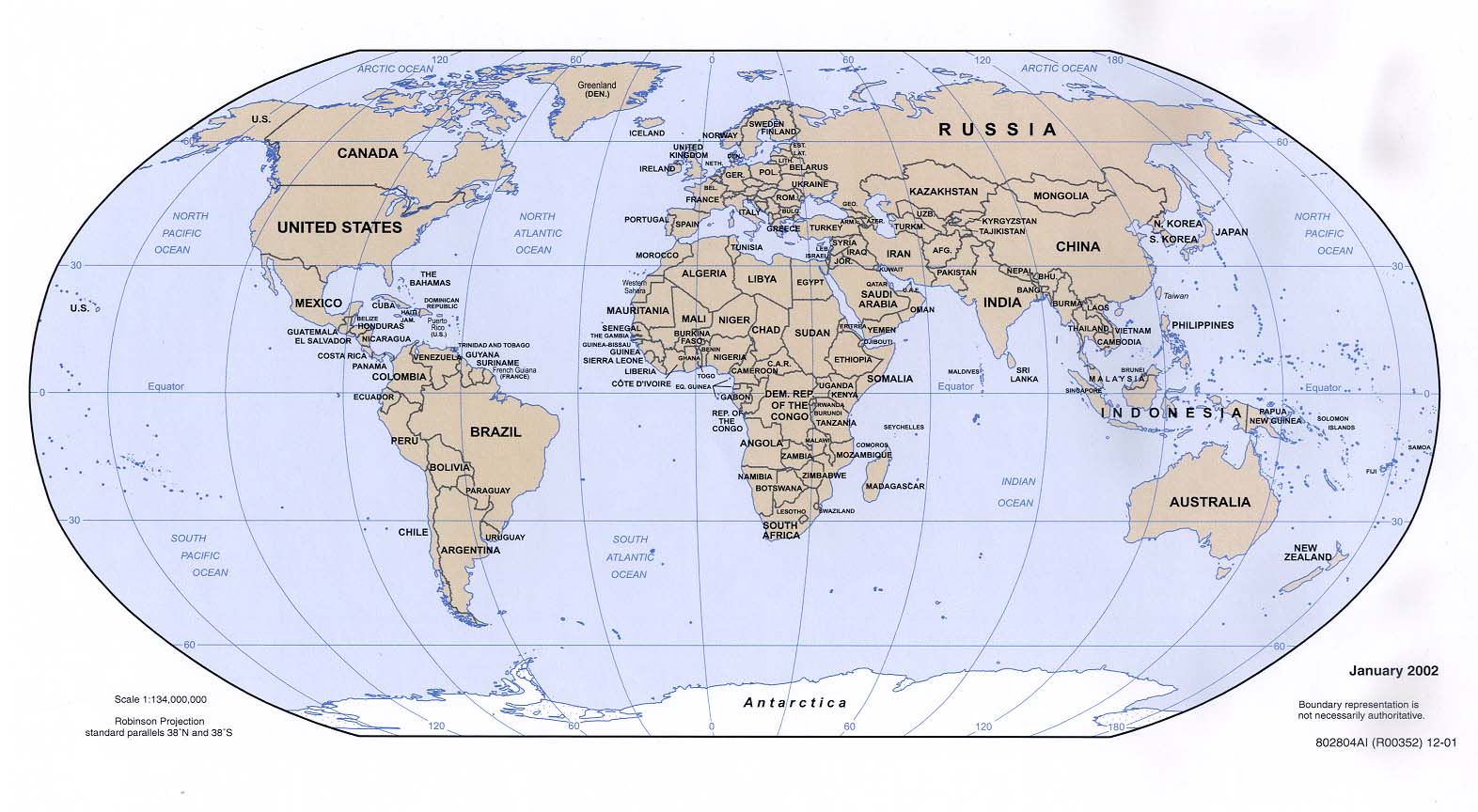
This is an excellent collection of maps that can be downloaded. Most of them are produced by the CIA. There are world... see more

A collection of history maps of Asia and recent China maps showing cities, provinces, rivers, etc.
Six didactic Modules on Karnaugh Maps
The lesson plan and accompanying slide show provide an overview of the organization and collection at the Library of... see more

This lesson focuses on geographic thinking and uses different type of maps to locate information.
Esri Story Maps let you combine authoritative maps with narrative text, images, and multimedia content. They make it easy... see more
Lots of good information about deveoping, using and interpreting percptual maps for marketing. The website also contains... see more